A New Visualization Tool of the City’s Zoning Ordinance
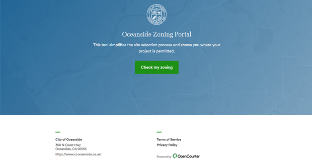
Oceanside CA— The City of Oceanside is excited to announce the launch of OpenCounter: Zoning, a web-based tool designed to help Retail/Commercial businesses, owners, and citizens research and explore site-specific zoning requirements based on the regulations of the City’s Zoning Ordinance. The site is available at https://oceanside.zoningcheck.com and on the City of Oceanside website.
The new tool provides each applicant with a customized map of where their planned project is allowed to operate inside Oceanside City limits, and helps citizens, investors, and entrepreneurs understand where uses are allowed “by right,” where they require staff, Planning Commission or City Council review, and where they are prohibited. In the past, this data was only available by manually cross-referencing the City’s zoning map with the text from one of three different zoning ordinances.
This tool strives to make complex municipal regulations and processes easier to understand for everyday citizens. By moving some zoning inquiries online, the City is hoping to be able to provide faster, reliable, targeted feedback to the community 24/7. The new zoning tool also gives information to City staff that will provide a new level of insight into economic development trends in their community.
“We’re aiming to increase communication and eliminate confusion,” said Jeff Hunt, City Planner. “City staff will also have access to a powerful suite of administrative tools to analyze proposed land uses while citizens are given a remarkably high level of service that reduces their discovery process down to a few minutes, and then puts them in touch with subject matter experts for targeted follow-up.”
Developers, brokers and property owners will be interested in this easy, always accessible, informative new tool to assist in bringing business to Oceanside available at https://oceanside.zoningcheck.com.


